Elevation monitoring from data acquired by satellite SAR NEC and Oriental Consultants

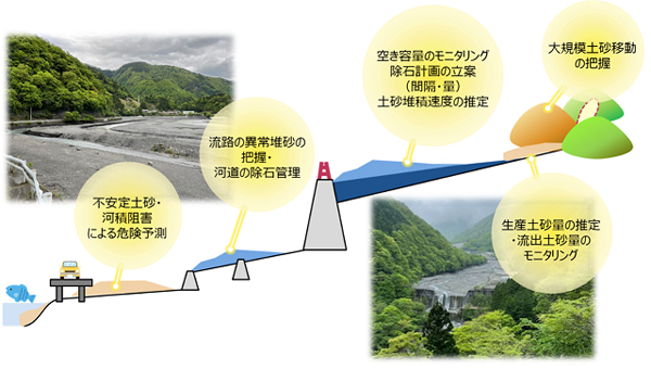
NEC and Oriental Consultants have jointly developed a technology to monitor elevation from data acquired by satellite SAR.
Analyze the data captured by the satellite SAR and calculate the elevation of the target area. Next, the imaging data after the sediment movement is analyzed, and the planar height is calculated. Calculation of the amount of sediment movement is realized by differentially analyzing these two surface height data.
